Weather forecaster calls for mild, dry winter in NW
Published 7:05 am Monday, November 20, 2023
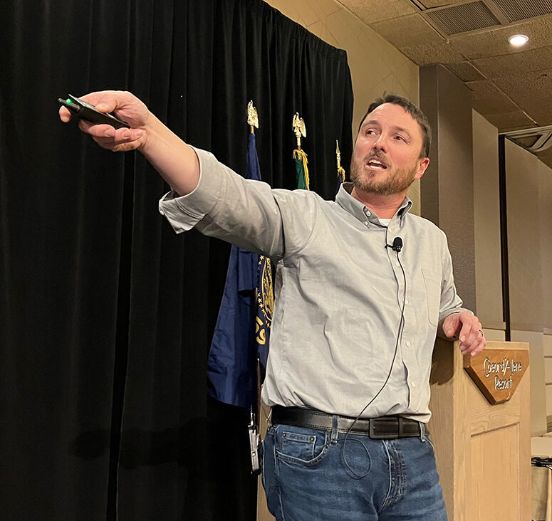
- Eric Snodgrass, principal atmospheric scientist for Nutrien Ag Solutions in Champaign, Ill., offers his winter weather forecast Nov. 16, 2023, during the Tri-State Grain Growers Convention in Coeur d’Alene, Idaho.
COEUR D’ALENE, Idaho — Northwest farmers will likely see more “normal” days this winter with less risk of “overly dry conditions,” a meteorologist says.
Trending
Most forecasts are “too heavily dependent on an El Nino that is yet to jump in the ring,” said Eric Snodgrass, principal atmospheric scientist for Nutrien Ag Solutions, on Nov. 16 during the Tri-State Grain Growers Convention in Coeur d’Alene, Idaho.
In the meantime, a massive atmospheric ridge over British Columbia will bring weather out of the east, where there’s no moisture, he said.
As a result, most of the Pacific Northwest will be drier, with some chances of moisture coming in, Snodgrass said.
Trending
“You’re going to get moisture, but it’s not a constant push of it,” he said.
In December, however, “decent moisture” will arrive, Snodgrass said.
Early predictions were for an El Nino twice as strong as it currently appears to be.
“You want a weak El Nino, because … the weaker it becomes, the better your chances are of getting flow coming through,” Snodgrass said.
He gave the audience several things to pay attention to:
• Temperatures in Brazil are at 110 degrees Fahrenheit with the biggest corn and soybean crops ever. “If Brazil has major weather problems this year, it’s going to shock the markets in a big way,” Snodgrass said.
• More than 50% of the landmass in the lower 48 states remains in some level of drought. Snodgrass expects that percentage to drop below 25% by spring.
• The Mississippi River remains low, shutting down barge traffic. “We expected it to come back up in November,” Snodgrass said. “Instead, it popped up a little bit and went right back down again.”
With the Mississippi low and drought causing problems for the Panama Canal, “global shipping has changed,” Snodgrass added.
• “Every long-range forecaster is saying El Nino and the warm north Atlantic are going to keep (European weather) mild,” Snodgrass said. “I don’t think that that’s the case.”
If a polar vortex drops a “brutal” amount of cold air into Europe in January, the 10 days beforehand would send “massive shockwaves through our energy markets,” he said.
• In January 2022, the massive Hunga Tonga–Hunga Ha’apai volcano below the ocean’s surface erupted east of Australia. The increased stratospheric water vapor load has spread around the entire globe, Snodgrass said.
“Water vapor is our most abundant greenhouse gas, it’s so important to life on this planet,” he said. “We just increased its load in the stratosphere, where it’s going to live for five to eight years.”
As a result, surface temperatures will be skewed warmer than average for a decade, he said.
Marketplace


-
eEdition

-

-
