Eye to the Sky: NWS makes slight change to heat products
Published 5:00 am Monday, July 14, 2025
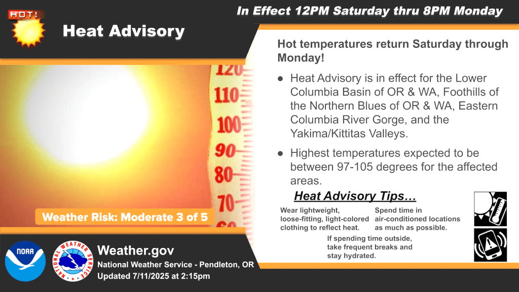
- The National Weather Service issued this advisory about high heat for July 11-14, 2025, the included much of Eastern Oregon. The NWS starting this summer is moving off using the term "excessive heat" and instead using “extreme heat." (National Weather Service/Contributed Graphic)
Summer is upon us, and with it, the dog days will inevitably bear down upon us across Eastern Oregon. We’ve already seen a taste of it, with a couple of near-100 degree days under our belt at the start of July. And as many of us long-time residents know, the heat can always boil up to and even more than 110 degrees, as we saw during the infamous Pacific Northwest Heat Wave of 2021.

Cole Evans
Whatever the heat has in store for us this summer, we here at the National Weather Service will always remain ahead of the curve in keeping everyone aware and alert of any heat spell, be it a mini two-day spurt of triple-digit temperatures, or a more intense week-long heat wave.
Historically, the Weather Service’s heat products have consisted of the Heat Advisory and the Excessive Heat Watch or Warning. Heat advisories will stay the same. However starting this summer, instead of “excessive heat,” our language will change to “extreme heat.”
Trending
Why the change? This is part of the Weather Service’s ongoing “Hazard Simplification Project,” where we reevaluate product names based on survey responses from the public and some of our core partners, including emergency managers. The general sentiment was that “extreme heat” better conveys the magnitude of the threat and its potential impacts better than “excessive heat.”
This also aligns with a change to our cold weather products we made last winter, where wind chill watches/warnings/advisories became the Cold Weather Advisory and the Extreme Cold Warning.
How do we determine when to issue an Extreme Heat headline? Here at the Weather Service, we use a tool called HeatRisk, an index that factors in several variables in order to characterize the potential impacts a spell of hot temperatures may pose on the public. HeatRisk factors in the high temperature, the overnight low temperature, climatology, and Centers for Disease Control mortality data. HeatRisk is similar to the air quality index or ultraviolet index to measure the risk of harm from unprotected sun exposure in that it gives a value on a scale from 0 to 4 that illustrates the heat threat for a given area. HeatRisk values of 1 and 2 are relatively common in the summer here in Eastern Oregon. Once values start to persistently reach 3 and 4 is when we consider our heat products, with multiple days of 4 (or “very high”) generally being the threshold for an Extreme Heat Warning.
This HeatRisk tool is a more data-driven and holistic approach to issuing public advisories on heat rather than relying on a simple temperature or heat index threshold. Taking climatology into account, as well as overnight temperature relief, HeatRisk better captures the threat the heat may pose not just to the general public, but to vulnerable populations as well, such as infants or the elderly. As of early July, we’ve only issued heat advisories for Eastern Oregon, but as we head more into the brunt of the summer, keep an eye out for this new Extreme Heat Watch or even Warning — that’s a sign that some real sweltering days are on the horizon.
Cole Evans is a meteorologist at the National Weather Service in Pendleton. Evans joined the weather service in 2020 and serves as a focal point in aviation weather and performance assessment in the office.
Marketplace


-
eEdition

-

-
